West Wind / West Barr Log Sort Project in Partnership with:
Squamish Nation, Fisheries and Oceans Canada (DFO), Ministry of Forests, Lands and Natural Resource Operations
District of Squamish, Seagrass Conservation Working Group, BCIT Rivers Institute
Funding support:
National Wetland Conservation Fund, Habitat Conservation Trust Fund, Pacific Salmon Foundation
Recreational Fisheries Conservation Partnerships Program, CN Cheakamus Ecosystems Recovery Fund
BC Hydro Fish & Wildlife Compensation Program (FWCP)
|
|
Site History and Location
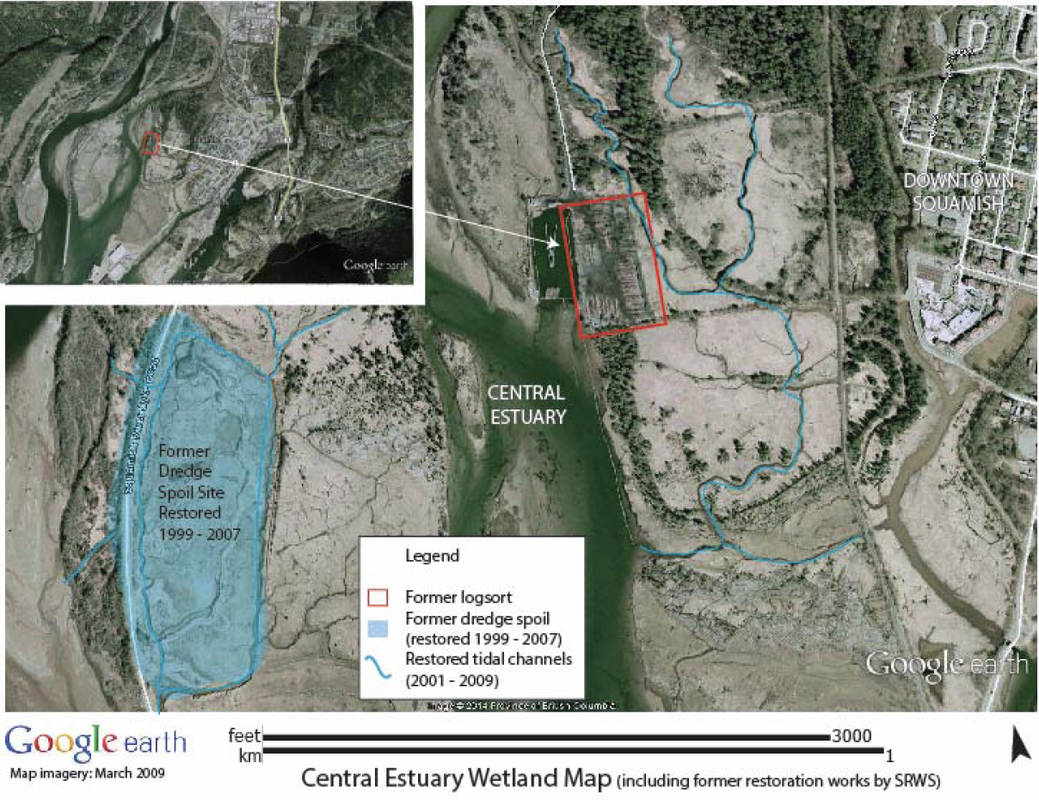
The former log sort site was located within the Skwelwil’em Wildlife Management Area, on the east bank of the Squamish River in the area known as the Central Estuary.
Project Background
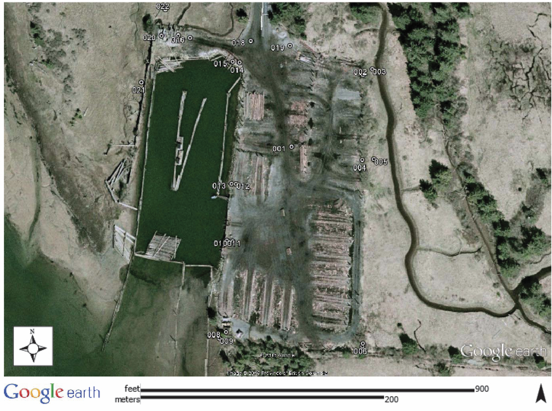
The focus of this project was to restore this log sort back into functional estuarine habitat through re-grading of the site to create a natural tidally influenced wetland salt marsh.
Objectives
Some of the key objectives of this project included: creation of over 4.3 hectares of new estuarine habitat; establish salmon habitat for rearing, overwintering, and spawning (focus on Chinook and Coho salmon, but benefits for Pink, Steelhead, and Chum salmon as well as other fish species and wildlife); planting native riparian vegetation; daylighting channels and removal of redundant culverts; removal of fill and overburden and returning the site to historic grades to allow natural estuarine processes to resume; monitoring the site to gauge the carbon sequestering potential (through identifying soil composition, depth, woody debris, and plant matter); installation of educational interpretive signage; exploring eelgrass restoration in the sub-tidal shorelines; Rivers Day Festival event location; and establishing the site as a “living classroom” for university public school students.
Works Completed
- Removal of over 25,000 cubic metres of material from the log-sort and infilling of over
- 10,000 cubic metres into the log-dump pond to create over 35,000 cubic metres of tidally influenced estuary
- Construct over 240 linear metres of tidal channels
- Construction of 1,200 m connector trail for public access at eastern edge
- Construction of four new tidal channels exceeding a total linear length of 500m or around 1,500 square metres of habitat
- Placement of over 50 LWD and boulder cluster structures around the site
- Construction of two kiosks/signs (one at each entrance to the trail)
- Over 500 volunteers assisting with the project (especially with the riparian plantings)
- Planting of over 2,000 native riparian trees and shrubs and 1,200 sedge plugs
- Construction of 500 m2 of eelgrass habitat (500 shoots)
- Pre and post monitoring of the site to establish baseline data on the soils, water, and plant communities on the site
Post-Restoration Monitoring
Since restoration of the West Wind/Brownfield site, we have been monitoring:
- Juvenile Chinook on usage of the channels through a study conducted between 2011-2016
- Data collection on vegetation, soil, and photo-monitoring for the Blue Carbon project
- The sedge marsh is being monitored on growth success
- Water temperatures in the main lagoon throughout the year for the Central Estuary project


